Prévisions neige: les 6 prochains jours
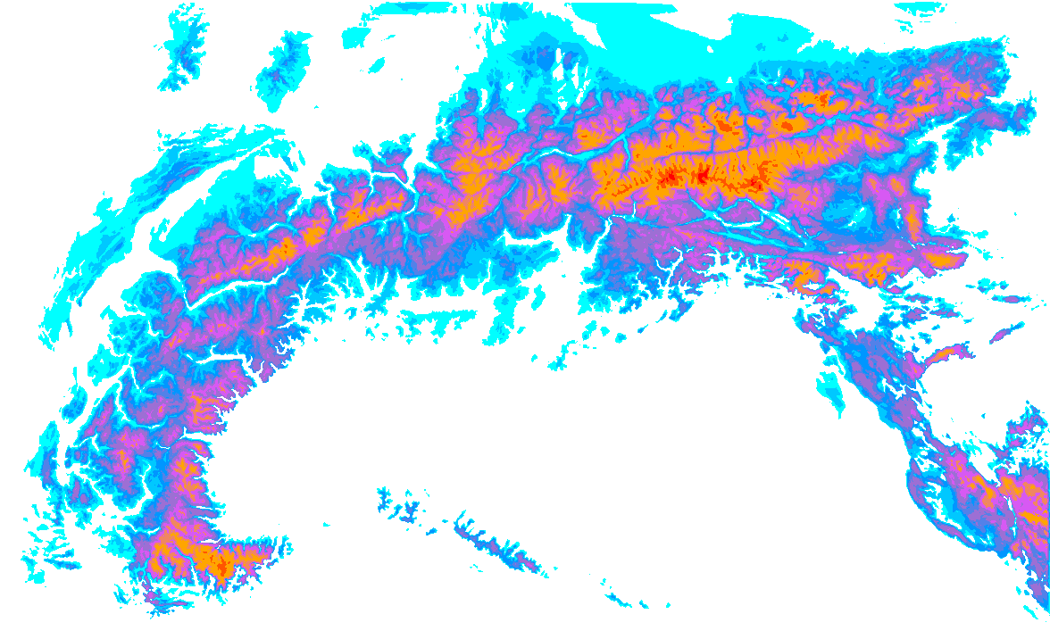

- 1cm
- 5cm
- 10cm
- 15cm
- 20cm
- 30cm
- 40cm
- 50cm
- 75cm
- 100+
La plupart des chutes de neige
After a very warm period in the Alps, a strong cooling will now follow. Higher up, the snow cover grows steadily over the next few days. A nice layer of snow will fall until Thursday evening. After a short break on Friday, more snow could follow over the weekend! Time for PA#18! I could actually have taken the title of the previous weather report as well, as we are in fact once again emerging from an extraordinary situation in the Alps with two consecutive record-warm weekends.
After the exceptional warmth of the past few days, a cold front will bring a solid cooling and a fresh layer of snow. It will get about 15 to locally 20 degrees colder and the snowline will thus drop nicely. Taking a quick look at two snow graphs in Tirol, we can see that snowmelt at altitudes of around 2000 metres is now in full swing.
We’re experiencing a record season in the Pays des Écrins. There’s a whopping 4 meters of snow at the top of Pendine. Even the entrance to the renowned Col de Bal is directly skiable, with the large rocks hidden beneath a thick layer of snow. And there are meters of snow on the pillows. It seems like the season is far from over.
Typically, I spend my winters in the Alps, hitting the slopes for some powder, summiting a few peaks, and when it’s warmer, practising tricks in the park. Supported by Penguin Powderwear, I decided to chase the snow to the other side of the world this winter: Japan. I January I arrived in Japan. The culture, food, and temperature change from my previous surf-filled months in Australia left me feeling excited to explore this new country.
In the coming days, there will be quite a bit of snow again on the southern side, especially in the western part of it. More snow is likely to follow from the weekend onwards. In some regions, accumulations could reach serious levels. Strong Atlantic depressions will remain more or less stationary just west of Europe in the coming days.
We can expect some nice snowfall in the Northwest-Alps with a low snowline. Much more snow may follow over the course of next week with a south-westerly flow, but details on this are not yet known. A separate small low pressure core, part of the extensive low-pressure area off the coast of Norway, will bring snow from the northwest on Saturday.
It was a changeable start to the week with snow mainly in the Northwest Alps. The snowline was quite high on Monday, around 1800-2000 metres in most places, occasionally at increasing intensity temporarily below 1500 metres, but a nice layer of snow fell higher up anyway: 10 to 20 centimetres, locally also 30 centimetres.
Deciding to have kids is a big decision. It’s probably one of the most daunting decisions many of us will face in our lifetimes. It’s perhaps even more magnified for those who already have life-fulfilling passions that fuel their sense of self and shape their goals. This is a documentary that explores the choice of having kids and the impact they can have on your time and values.
A nice layer of snow follows over the next 24 hours for the Swiss Alps. It could have been a PowderAlert, but due to the limited amounts in a limited area and the subsequent very rapid warming on Thursday, I chose not to issue a PA. So the snowfall is for a limited region, which is interesting, but well explained by two factors.
As I type this, my jaw hurts from laughing. Since 9:15 this morning, the smile hasn’t left my face. After snowy days, today cleared up nicely. That meant skiing in powder under the sun! After some consideration, we decided to head to my favorite one-lift wonder, Pelvoux in the French Ecrins. And it turned out to be a fantastic choice.
It’s been Powder Alert after Powder Alert in the last period and once again it’s here. The snowfall in the south-west Alps has started and it is going to s snow heavily again! Responsible is a decent low pressure area west of France. This depression deepens to around 970 hPa, creating a strong southwesterly high in the Alps.